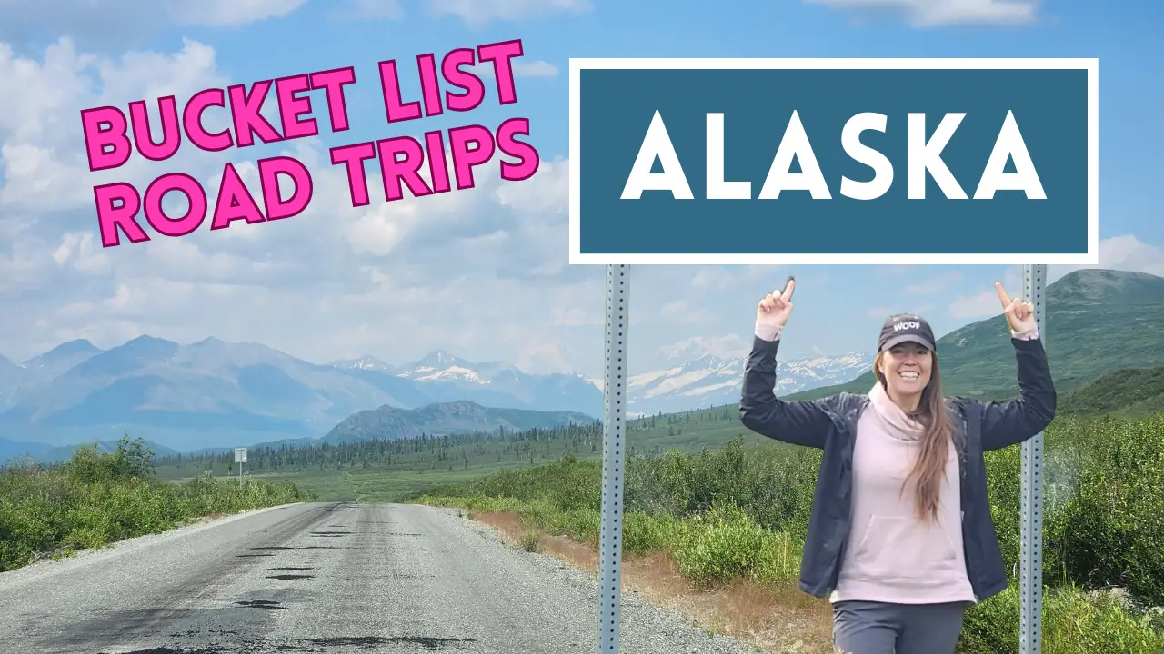
Alaska is by far the largest state in the United States but is home to less than 1 million residents. Instead of people, it is populated with miles and miles of wilderness. Much of the state can’t be reached by vehicle, instead, you need to hike, fly, or boat in. But there are still some pretty amazing mostly gravel roads that can take you off the beaten path and into the wilderness.
So grab your Milepost guidebook* and start planning a drive. Here are 5 of Alaska’s best gravel roads!
*This post contains Amazon Links. I am an Amazon affiliate and earn with qualifying purchases.
Denali Highway
The Denali Highway is a 134-mile-long road that links Paxon (on the Richardson Highway) to Cantwell (on the Parks Highway). The Denali Highway opened in 1957, almost 20 years before the Parks Highway was completed. So from 1957 to 1972, it was the only road link to Denali National Park and Preserve.


The first 21 miles of the Denali Highway from Paxson, and the first 3 miles from Cantwell, are paved, but the rest is gravel. Conditions vary, but overall the road was in good condition when I drove it in early August of 2023. This road is closed to vehicle traffic in the winter when snow covered.
This road is beautiful! With vast valleys and breathtaking mountain backdrops. And as you get close to Cantwell, you may even be able to catch a glimpse of Mt. Denali.


I recommend driving this road from Paxson towards Cantwell so you are driving towards Mount Denali. But regardless of which direction you choose to drive, this drive is absolutely stunning. Leave time to stop at overlooks, hike, and admire wildlife. We saw our first moose on this road (it was the only moose we saw for the 10 days that a good friend joined me on this road trip). And if you time it right (i.e. August/September), you may get a chance to see a caribou herd pass through the area.
A fun perk of this road is that there are plenty of free camping spots right off the road. Permits are not required for non-commercial camping, although you are limited to 14 days within 60 days.
Check out the Denali Highway Brochure created by the US BLM for this highway if you want more information about driving the fantastic Denali Highway.
Hatcher Pass
Hatcher Pass Road is a scenic 49-mile-long road that loops over Hatcher Pass at an elevation of 3,886 feet. Hatcher Pass is an improved road for the first 17 miles from Palmer and for the first 11 miles from Willow, but the rest is gravel. And much of the gravel stretch is steep, narrow, and full of switchbacks, potholes, and washboards. Hatcher Pass is open year-round, but chains or 4-wheel drive with good winter tires are required in winter.


While this drive is worth the time, even if you don’t stop to hike along the road, I highly recommend hiking in this area. One of my favorite trails in Alaska starts off this road. Reeds Lake Trail is an approximately 9-mile round trip hike to Upper Reed Lake and gains approximately 2,600 feet of elevation. A photo from that hike is included below.
There are campgrounds off of this road, but many fill up quickly. The trailhead for Gold Mint Pass does allow camping in the parking lot (for a fee), which is where we camped on our journey through Hatcher Pass.


Find out more about Hatcher Pass Road at Alaska’s DNR website.
McCarthy Road
The mostly gravel McCarthy Road is part of Wrangell – St. Elias National Park and Preserve. The road is 58.8 miles long from Chitina to the Kennicott River. From the Kennicott River, travelers can cross the Kennicott River pedestrian footbridge and walk or take a shuttle to McCarthy and Kennicot to explore these towns and deeper into the national park.


This road is recommended for those who like adventurous driving. I saw passenger cars and small RVs traversing this road, but I was happy to be in my 4×4 Toyota Tacoma truck camper. The road was in overall good condition and included a fun single-lane bridge as you cross over the Kuskulana River Canyon.
And while the road itself is a nice drive. This is a road to drive with the destination in mind. At the end of McCarthy Road is an amazing section of Wrangell -St. Elias National Park. Take a shuttle ($5 for the dog-friendly shuttle, free if you aren’t traveling with your dog) into the historic Kennecott Mines. From there you can hike out onto Root Glacier or enjoy other trails in the area. It’s a great dog-friendly national park.


Visit the official national park page to learn more about this road. And while you’re there, don’t forget to download the audio tour (the link is available at the top of the McCarthy Road Guide webpage).
Nabesna Road
Nabesna Road was one of the first drives I took in Alaska. This road is 42 miles in length and leads southeast off of the Tok Cutoff to the northern area of Wrangell-St. Elias National Park. The first 16 miles of the road are paved/chip-sealed, and the remainder is dirt and gravel. But there were plenty of potholes throughout both portions when I drove this road in July of 2023.


This road is great for those who enjoy boondocking/free camping as there are several areas where you can just pull off the side of the road and camp. We stayed overnight at a wayside that even included an outhouse!
Additionally, some fun trails start off this road. I didn’t hike it, but I’ve heard the Skookum Volcano Trail is great. Glia and I did enjoy a stroll down the Caribou Creek Trail.
You can also get some views of Mount Sanford and Mount Wrangell from Nabesna Road. Mount Sanford is the fifth-highest mountain in the United States with an elevation of 16,237′.


The National Park Service also has an audio tour for Nabesna Road if you’re interested. It is at the top of the webpage for the Nabesna Road Guide. Download audio tours before you start your drive and lose cell service.
The Dalton Highway
The Dalton Highway is potentially the most epic road on this list. This 415-mile road heads north from the Elliot Highway and terminates at Deadhorse/Prudhoe Bay just a few short miles from the Arctic Ocean. The Dalton Highway, also known as the “Haul Road” follows the Trans-Alaska pipeline through forested valleys, over the Brooks Mountian Range at Atigun Pass, and across the treeless North Slope.


It is one of Alaska’s most remote, dangerous, and challenging drives. Plan at least 3 days for a drive down the Dalton. This road is open year-round, but winter conditions can be extreme. Approximately 40% of the road is paved and about 60% is gravel.
Be prepared for some road dust in dry conditions and plenty of thick mud in rainy, wet weather. You’ll want to plan on washing your vehicle as soon as you get back to Fairbanks, AK.
It was rainy and cold the entire time I was on the Dalton Highway in mid-August of 2023. My dog Glia and I didn’t drive to Prudhoe Bay, mostly because we were planning on driving the Dempster Highway next. The Dempster Highway connects to a road that terminates in Tuktoyatuk right on the shore of the Arctic Ocean. So we were saving our Arctic Ocean experience for that trip.
But we did drive through the scenic Atigun Pass and camped at Galbraith Lake, surrounded by mountains from the Brooks Range and lots of vast open tundra. It was an amazing experience to be able to travel so far north and enjoy such a remote region. If you have the time (and potentially better weather), spend a few days on this road and make it to Prudhoe Bay.


Several great BLM campsites along this road are fairly inexpensive (like $10/night to free). There is a nice guide to the road on the BLM website if you would like more information.
Also, be aware that this road is used by a lot of semi-trucks. So be ready for flying rocks and the potential for a cracked windshield.
Notes on Driving Remote Roads
All of these roads can be considered remote and it is important to follow some basic preparedness guidelines when driving them.
Plan for poor cell service. I recommend having a paper copy of any road information you want. You can print out the guides I have linked to in this post, but I also highly recommend the Milepost guidebook. The Milepost provides detailed mile-by-mile information on all five of these roads as well as the rest of the roads in Alaska and parts of Canada near Alaska. It also lists where the gas stations are, which is super important. The Milepost is updated every year, so make sure you get the current year’s version. Below is a picture of my copy from 2023.

I’d also recommend a form of satellite communication if you are planning backcountry and remote adventures routinely. I have a Zoleo, which connects to my phone and allows me to send out texts and, if needed, an SOS message. You can purchase a Zoleo satellite communicator from Amazon or REI.
I’ve also heard great things about the Garmin inReach Mini (also available at Amazon or REI) also. It is a little more expensive than the Zoleo but lets you send messages without connecting to your phone.
It is also very important to bring a full-sized spare tire. And know how to change your tire. I made it through all of these roads without a flat tire, but I did get a flat tire on the Dempster Highway and the Glenn Highway.


I’d also recommend bringing extra gas, especially for the longer roads. Fill your vehicle up before you start driving on them. I never needed to use my spare gas, but there were a few times when I was getting low and a little nervous.
Also, bring extra food and water. If you do break down on one of these highways, it might take a little bit of time before help arrives. Be prepared to be self-sufficient until someone can get to you and your vehicle.

All of these roads are fantastic and deserve to be on every adventurous road-trippers bucket list. Happy driving everyone!

